Historical Atlas
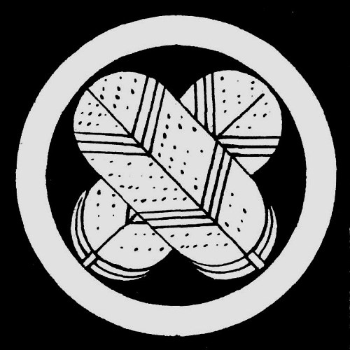
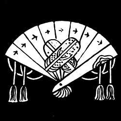
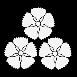
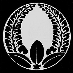
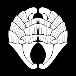
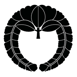
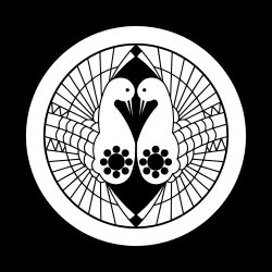
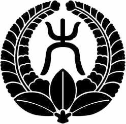
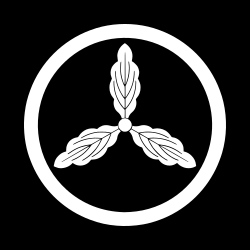
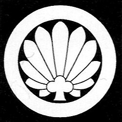
This map shows the 206 domains of the daimyo, the feudal lords of Japan, as they stood in 1664 under the Tokugawa shogunate. Click a domain to see the clan that held it, its branch where known, its castle town and its mon, the Japanese family crest.
Click on a country to learn more
Each clan has its own page, with its mon and the domains it held in 1664.
Domain boundaries: “Japan Historical GIS, Tokugawa and Edo Maps”, edited by Lex Berman, © CHGIS 2004, after Nihonshi nembyō chizu (Yoshikawa Kōbunkan, 1991). Mon images: Wikimedia Commons, credited under each mon.