Historical Atlas
This map shows the 41 provinces of the kingdom of France in 1789, under the Ancien Régime. Click a province to open its page, with its traditional flag where one is known.
Click on a country to learn more
Each province has its own page, with its flag where one is known.
 Alsace
 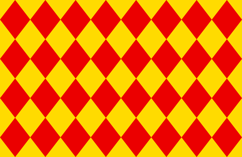 Angoumois
 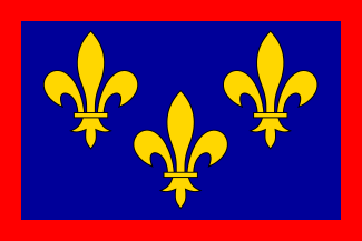 Anjou
Anjou 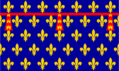 Artois
 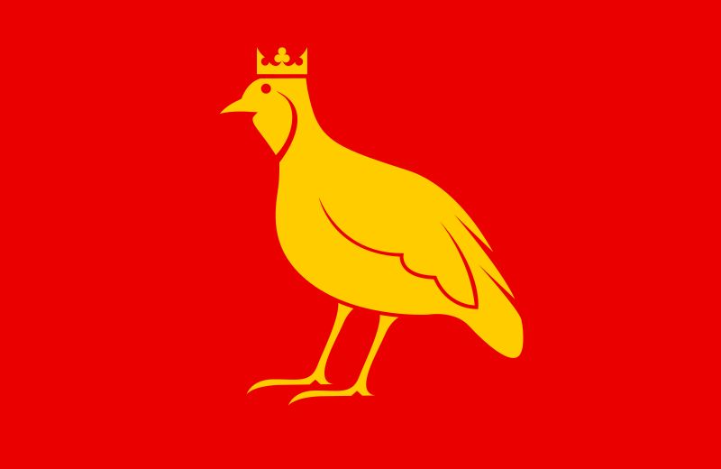 Aunis
Aunis  Auvergne
 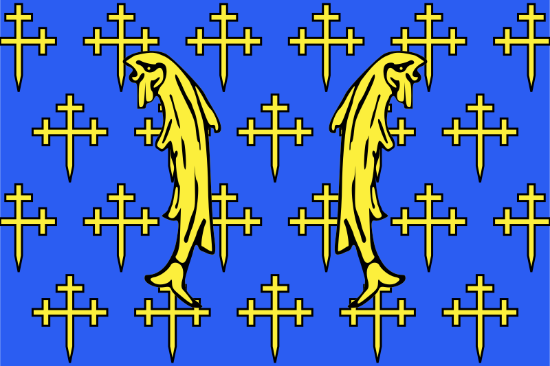 Barrois
 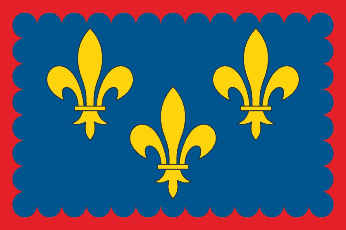 Berry
Berry 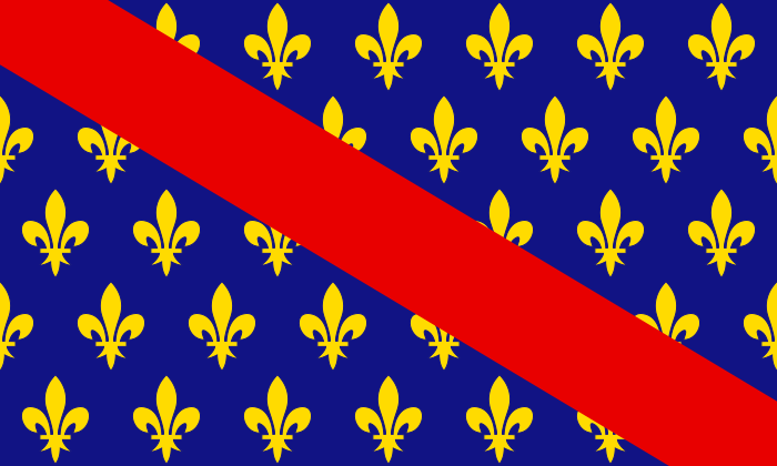 Bourbonnais
 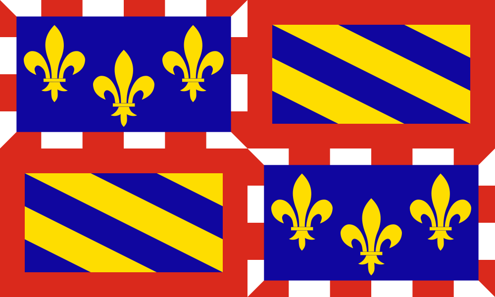 Bourgogne
  Bretagne
 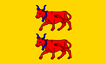 Béarn Cambrésis
 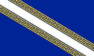 Champagne
 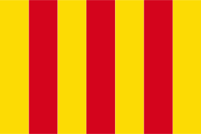 Comté de Foix
  Corse
Corse 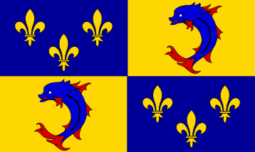 Dauphiné
 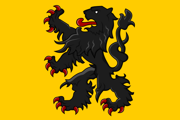 Flandre
 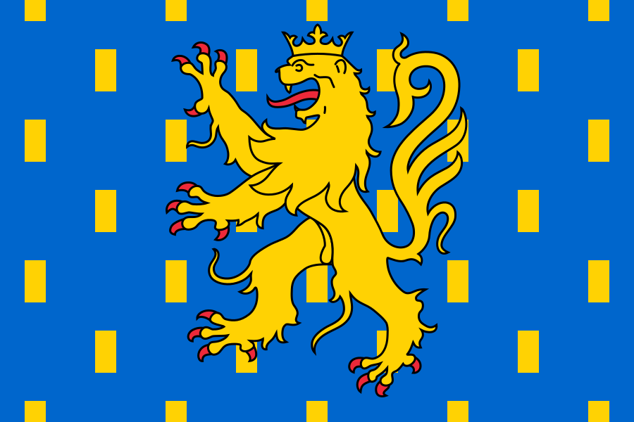 Franche-Comté
 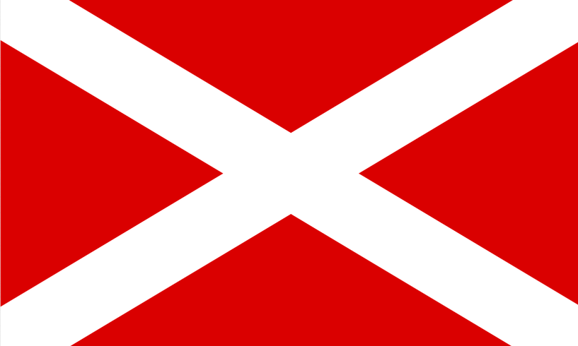 Gascogne
 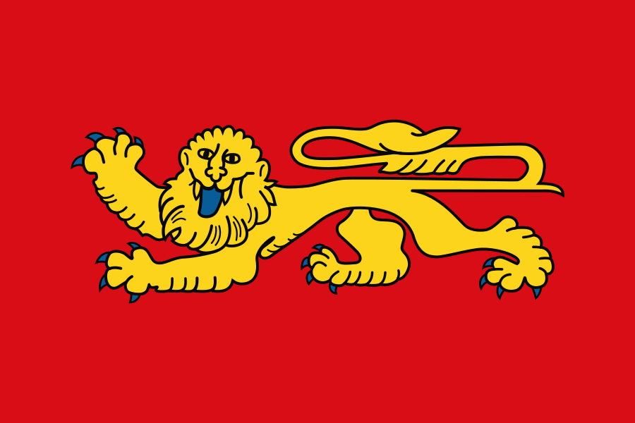 Guyenne Hainaut
 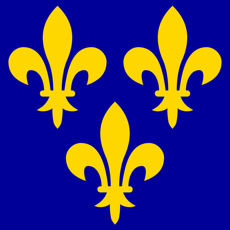 Île-de-France
 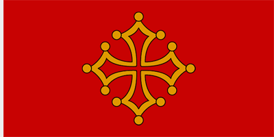 Languedoc
 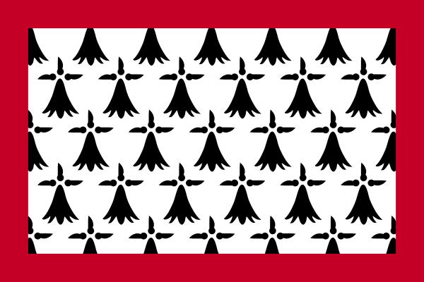 Limousin
 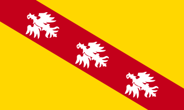 Lorraine
 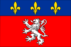 Lyonnais
 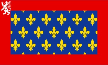 Maine
Maine 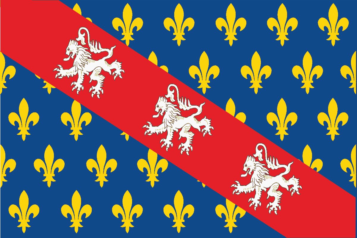 Marche
  Nivernais
 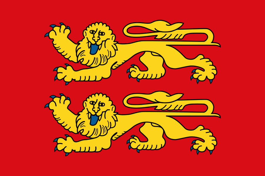 Normandie
 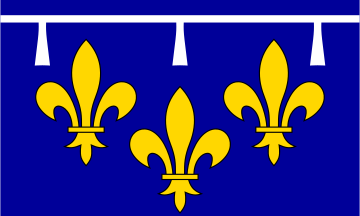 Orléanais
  Perche
 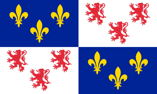 Picardie
 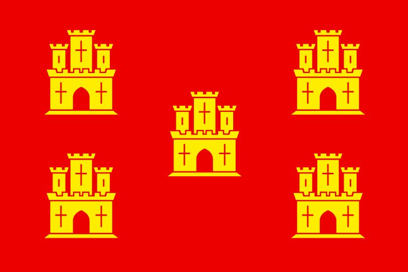 Poitou
 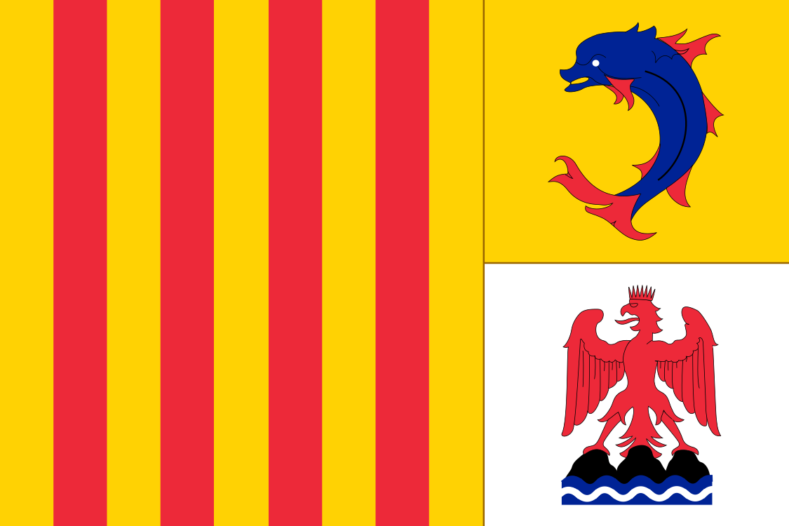 Provence
 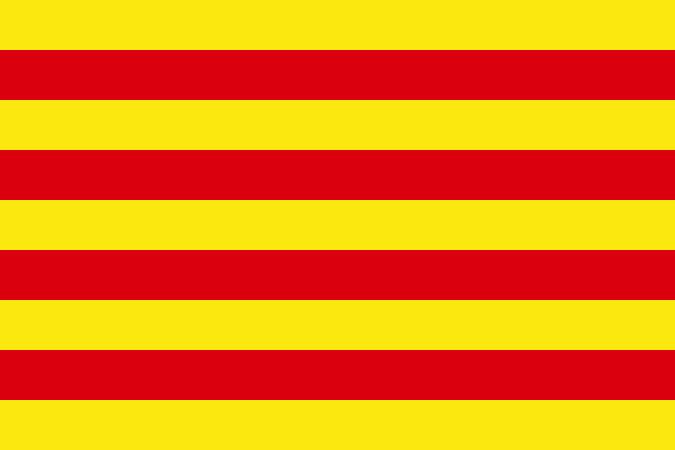 Roussillon
 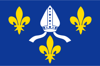 Saintonge
 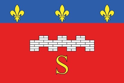 Saumurois
 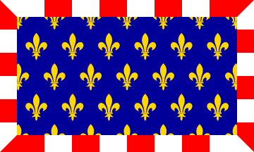 Touraine Trois-Évêchés
Map: Milenioscuro, “France, provinces in 1789”, Wikimedia Commons, CC BY-SA 4.0, adapted by Emblema Mundi (redrawn to real coordinates, simplified). Province names and groupings: the “… in France (1789)” map series on Wikimedia Commons. Flags: free-licence images, mostly from Wikimedia Commons.